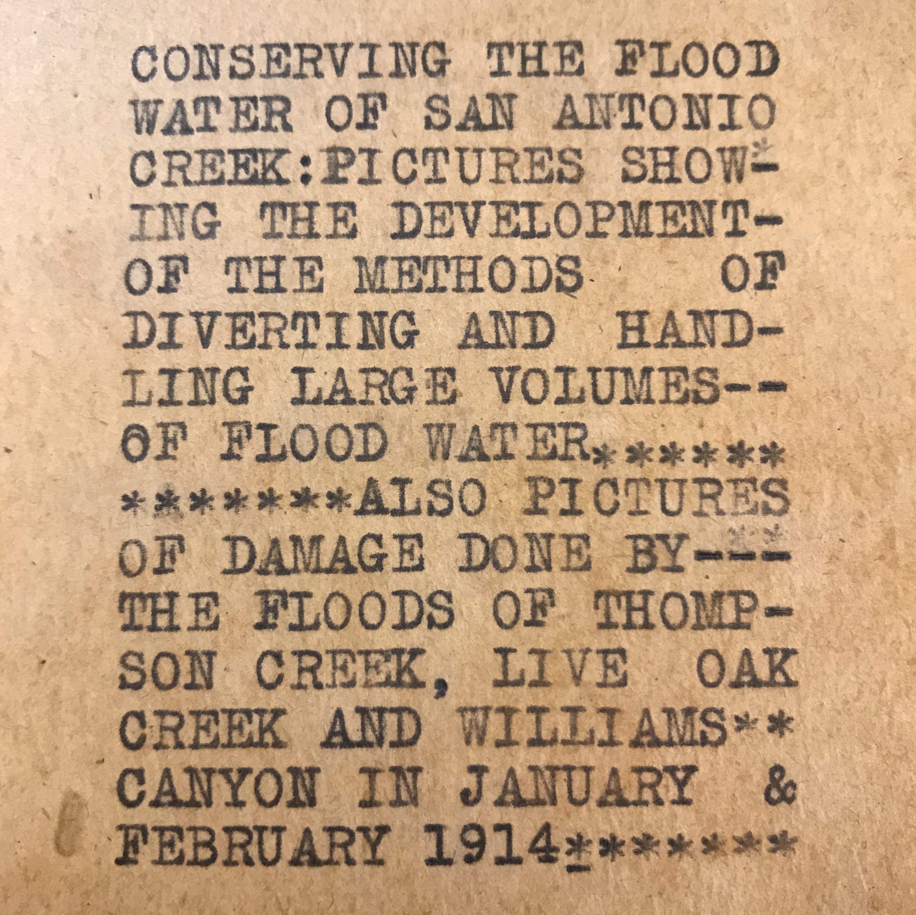
If you have been keeping track of our social media accounts, you may have noticed that we have recently started posting photographs from around 1911-1915. Last week Tanya and I went through an album of incredibly interesting photographs of the San Antonio Canyon and the Pomona Valley. The San Antonio Canyon is responsible for carrying water down to the Pomona Valley from the San Gabriel Mountains. Claremont and this surrounding area is part of the Pomona Valley. However, sometimes the Pomona Valley floods when lots of water runs down the mountains and through the San Antonio Canyon. Flooding can cause damage to homes, infrastructure such as roads, and agricultural lands. This was a huge problem in the early 20th century for local residents who primarily relied on agriculture for their livelihood.
Flood control was an important issue for people during this time and a variety of things were done to protect this fertile alluvial plain. These measures were documented and now they are part of the Willis S. Jones Papers at The Claremont Colleges Library. There are photos of streams, ditches, rock dams, cement dams, and even of the damages sustained in certain floods. This album specifically highlights the Osgoodby Dam in the San Antonio Canyon and a series of floods in 1914 that caused major damages in the Pomona Valley. I have taken photographs of particularly interesting parts of this album and over the next several weeks I will be sharing them on our social media accounts, which are listed below. Join in the conversation with #CLIRWater!
Twitter: @honnoldlibrary
Instagram: @honnoldlibrary
Facebook: CLIRWater