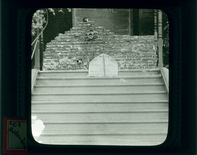
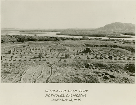
This photo of a relocated cemetery is included in the 1936 All-American Canal Project History. It can be found in Chapter 2, subsection “Construction.” While the chapter gives extensive information about the worker housing built in 1936, nothing is mentioned in this chapter about the photo of this mysterious cemetery. There is no indication of where it is specifically located, where it was previously located, or why the graves needed to be moved at all. The only information given to the location is in this photo: Potholes, California.
Potholes was a small mining town located close to the Colorado River and Railway Lines. The small town thrived during the early 1900s. A 1981 Geological Survey indicates the Potholes Cemetery address as “County Route 24 south of Potholes & north of Bard”, however keep in mind that is likely the 1936 location, and not the original location.
County Route 24 south of Potholes & north of Bard”, however keep in mind that is likely the 1936 location, and not the original location.
Geological Survey Information: https://geonames.usgs.gov/apex/f?p=gnispq:3:0::NO::P3_FID:247731
NARA Series: All-American Canal Project Histories, 1948-1954. Record Group 48: Records of the Office of the Secretary of the Interior, 1826-2009. National Archives Identifier: 2292770
