Hi folks! A few weeks back I mentioned the ephemera tucked away in the Willis Jones field notes and figured I’d highlight some findings this week. Some of these artifacts may provide crucial insight into Jones’s life and the time and place he occupied. Some of it could be random garbage. Let’s have a look!
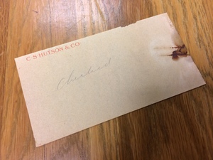
A slip of paper with C S Hutson & Co letterhead noting that something had been checked.
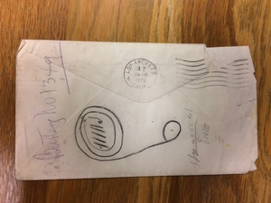
Symbol or meaningless doodle? No one in CCEPS could identify what was drawn on the back of this envelope.
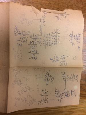
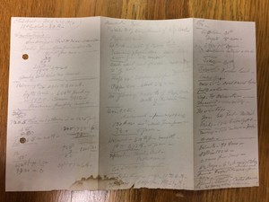
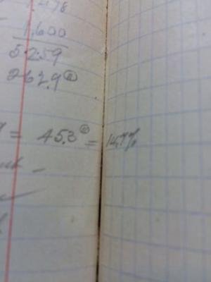
Arithmetic scratch paper. From the past!
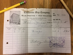
A receipt from a map company.
Notation on the backside of the map receipt.
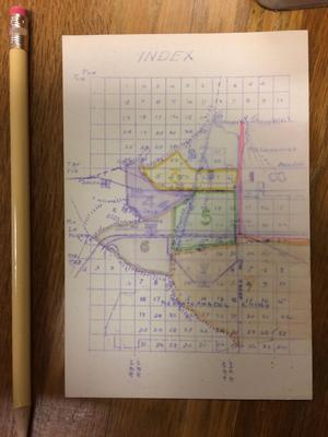
A tiny map.
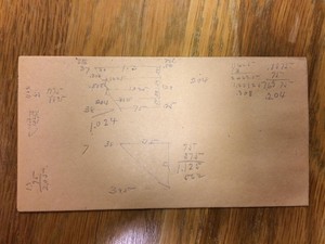
More scratch paper! Why did I post this?
And there you have it. I’m about halfway through the box and can only wonder what strange treasures await.
Hail and well met, good Internet traveler! Welcome once more to CCEPS, where but through the alchemy of scanning do we transfigure documents of yore into digital treasures of the fuuuuuture.
Ahem. Sorry, been playing D&D on my off time.
Anyhoo, not much to report this week. I finally got around to inserting those images from the camera room into their respective PDF documents, so they’re ready for uploading and metadata tagging. I also removed some metal fasteners from another collection with the aid of a micro-spatula and +3 dexterity. And, as always, scanning the Willis S. Jones field notes continues. Pretty sure it’s the main campaign at this point.
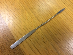
I don’t have any cool archival items to share this week, so here’s a photograph of that micro-spatula I used earlier:
It does +5 loosening, and can remove up to level 3 rusted staples.
Hi folks! Still scanning the Jones field notes with little new to report, so I’m going to take a bit of a detour and talk about book gutters.
Because, sure.
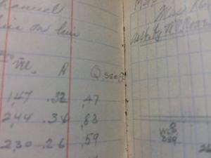
Back when Jones was creating these notes, his writing would occasionally drift achingly close to the bound edge of the book page, or its gutter. Which was all well and good for Jones in 1915, back when he could open and close his notes willy-nilly without a care in the world about damaging them. But a hundred-plus years of aging have rendered the paper and binding brittle, and thus difficult to fully open. And so a number or letter carelessly left at the precipice of the gutter can easily be obscured from the otherwise eagle-like gaze of the book scanner.
Which, fine. Given enough time, effort, and paperclips (don’t ask), a book can eventually be propped up and properly scanned.
But what if?
What if Jones became too careless, if he wrote too greedily toward the guttery abyss without moving on to the next line? And what if that particular book became too fragile to fully open and recover the wayward symbol, thwarting even our greatest library and archival technologies of the present (including paperclips)?
What if that letter or number was really important? Perhaps some researcher of the future will one day write her entire dissertation on Jones and his many field notes, and she will puzzle over this slightly obscured letter. Assuming it is a letter. Maybe it’s a number? She can’t be sure. She tries to enlarge the image, but to no avail, the screen mocking her with pixelated mystery. Perhaps she will contact Special Collections to see the field notes in person, as any tenacious researcher would, only to learn that the original was lost in the Great Silverfish Infestation of 2095 or whatever. For all perishes eventually, even field notes.
I forgot where I was going with this. Something about gutters? At any rate, that’s about all the time I have this week. See you next time, and stay out of the gutter!
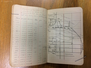
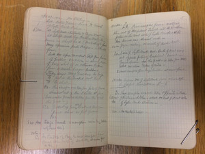
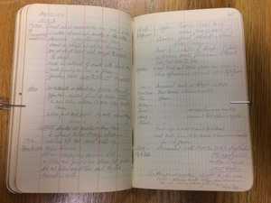
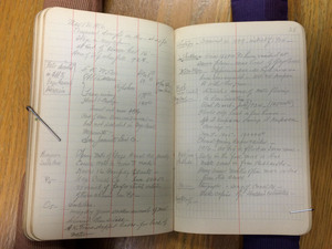
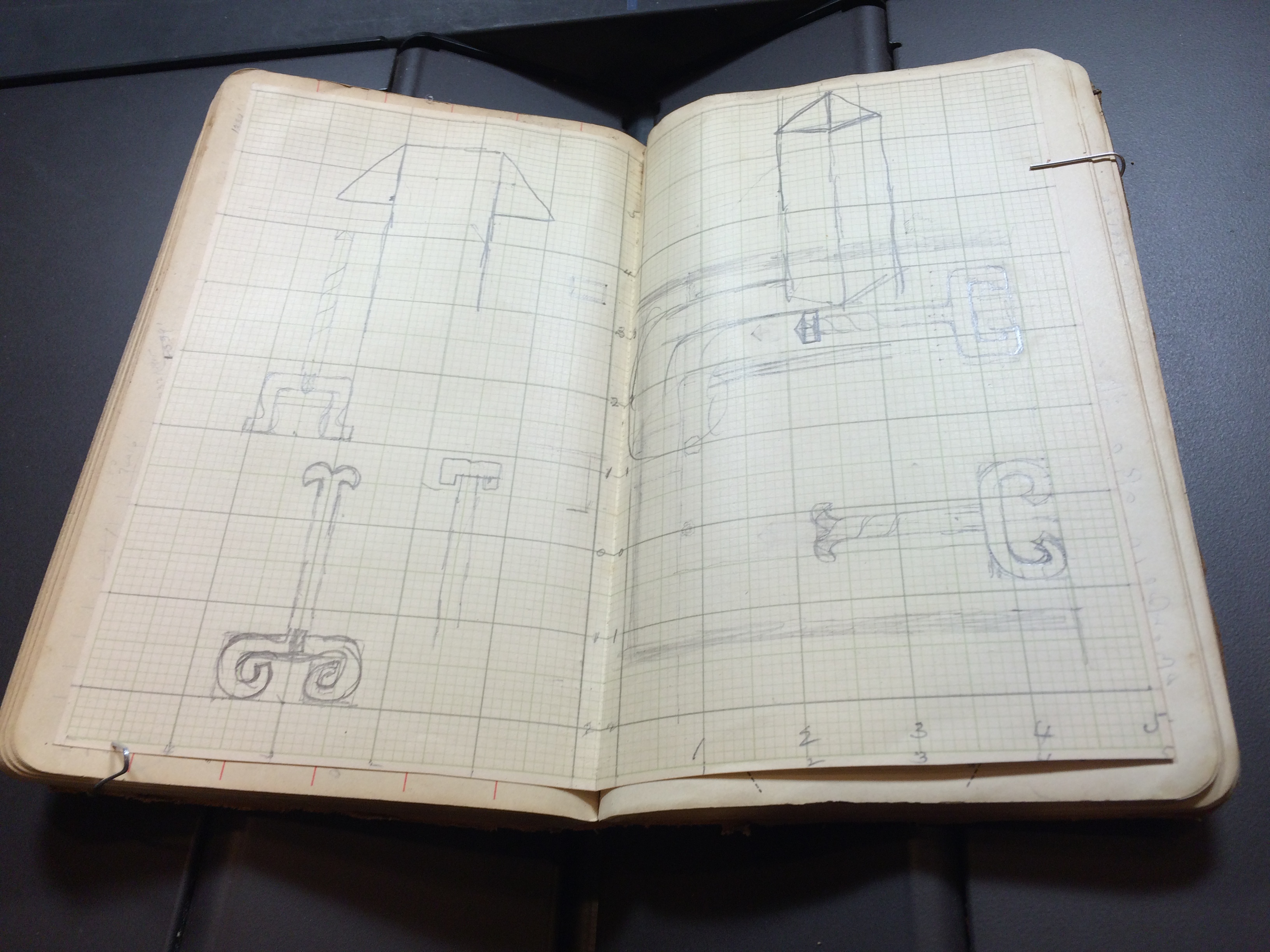
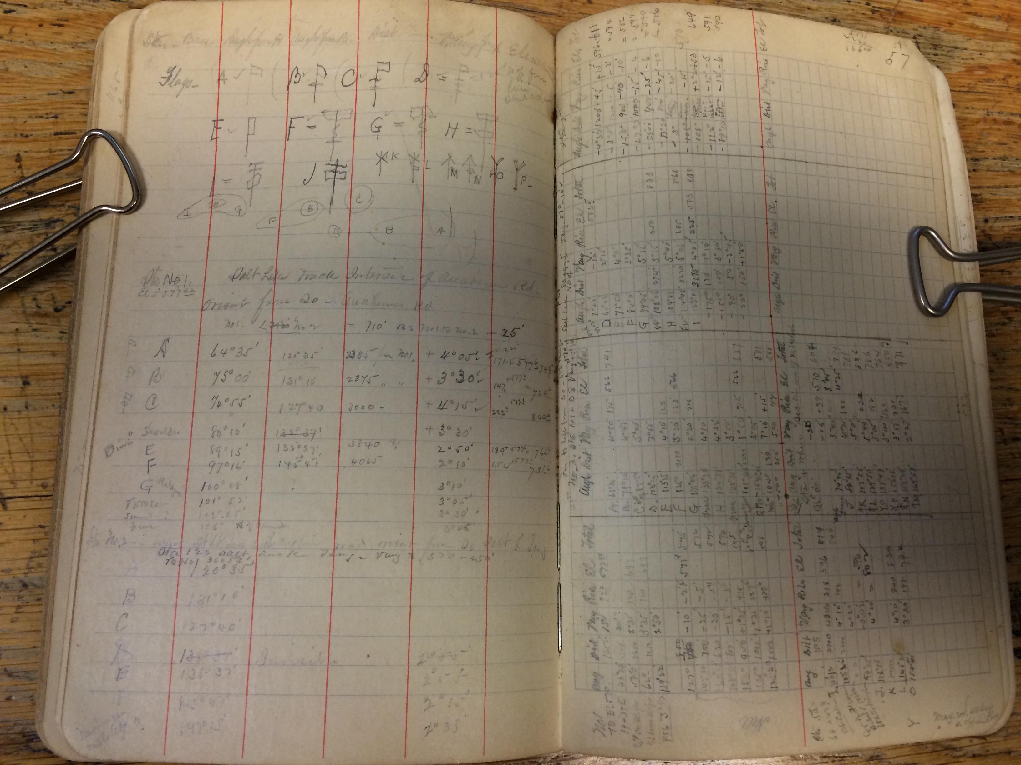
Salutations! I’m still scanning Willis S. Jones’s field notes, and have started working on one from 1916 about San Bernardino and Riverside. The notes in this book seem a bit more elaborate than his previous journals, with written notation:
Howdy, folks! Last week Raemi mentioned our use of the book scanner in the Special Collections Reading Room, so I figured I’d talk a little about what I was scanning in that photo.
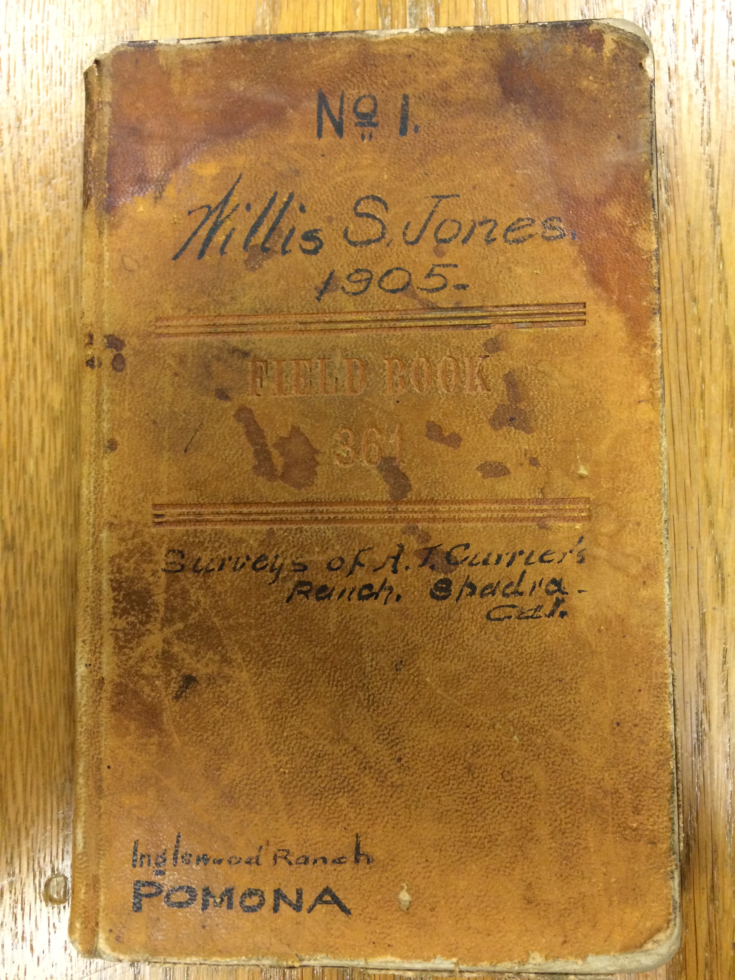
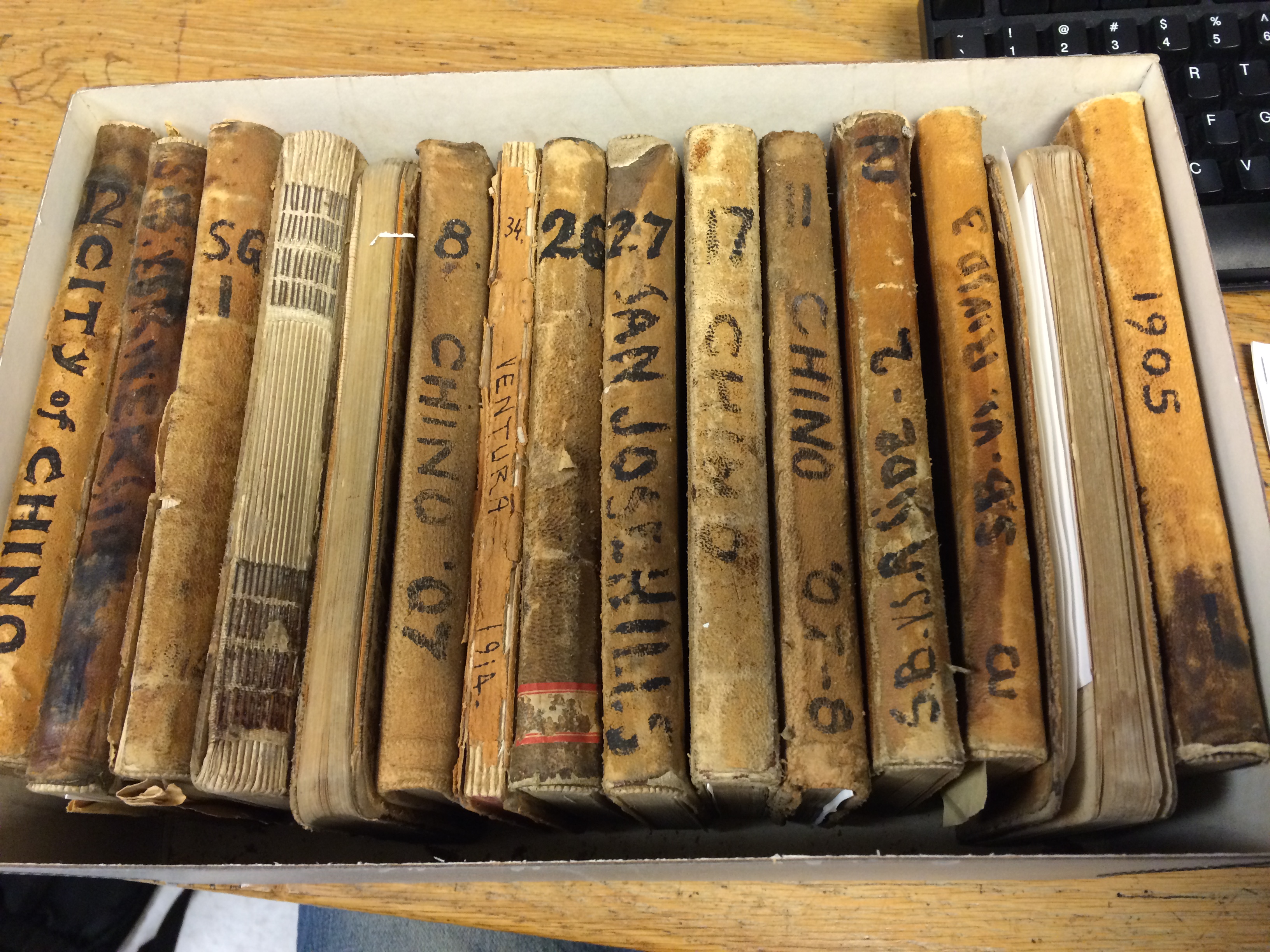
This is a box of field notes from the Willis S. Jones Papers, written between 1905 and 1915. According to Russell Michalak’s finding aid of the collection, “Jones was a consulting engineer for the Consolidated Water Company of Pomona in 1907; superintendent of Claremont Domestic Water Co.; and consulting engineer for [the] Vail Co. in Riverside Co. He built dams along the Santa Margarita and Temecula River on the Pauba Ranch near Temecula, California.”
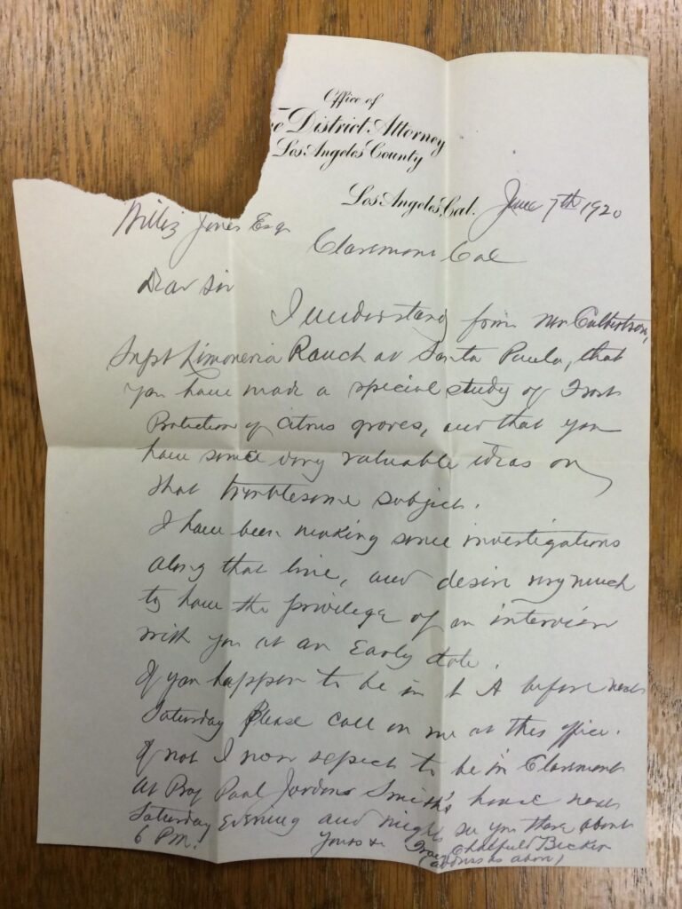
In addition to notes, the field books also contain the occasional supplemental item, such as this 1920 letter from the LA County District Attorney’s office:
Part of the fun of archives is finding weird stuff in unexpected places.
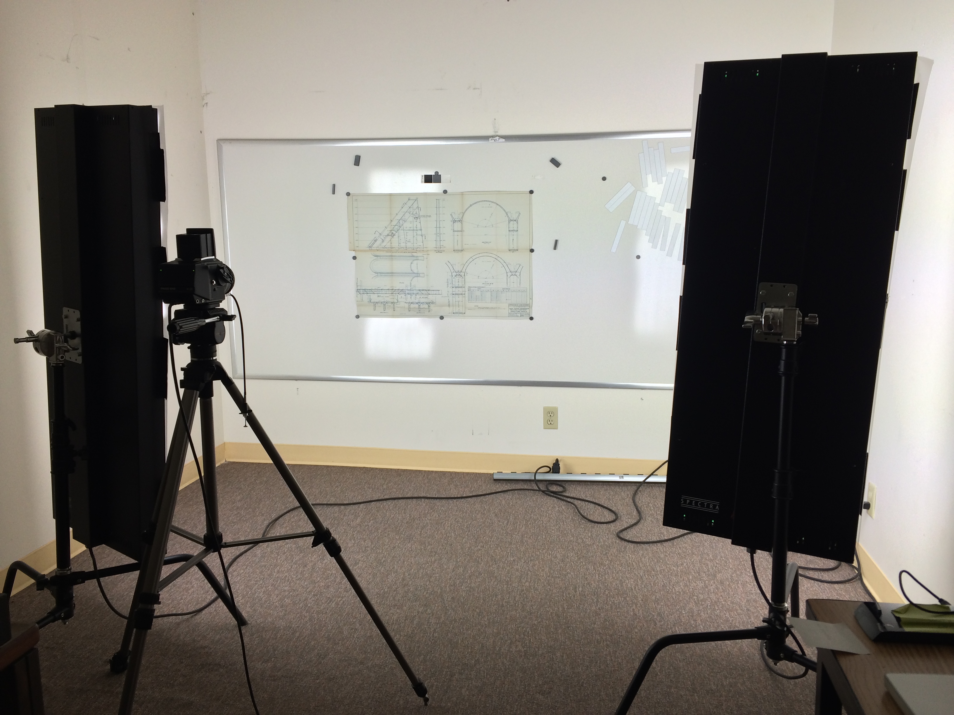
Hi, folks! This week I worked in the library’s “camera room” (I have been told this room doesn’t actually have a name. But it does contain a camera, and is a room, so here we are). Raemi described the particulars of the nameless room in a previous entry and walked me through the process, with the aid of our supervisor Tanya Kato. Thanks, Raemi and Tanya!
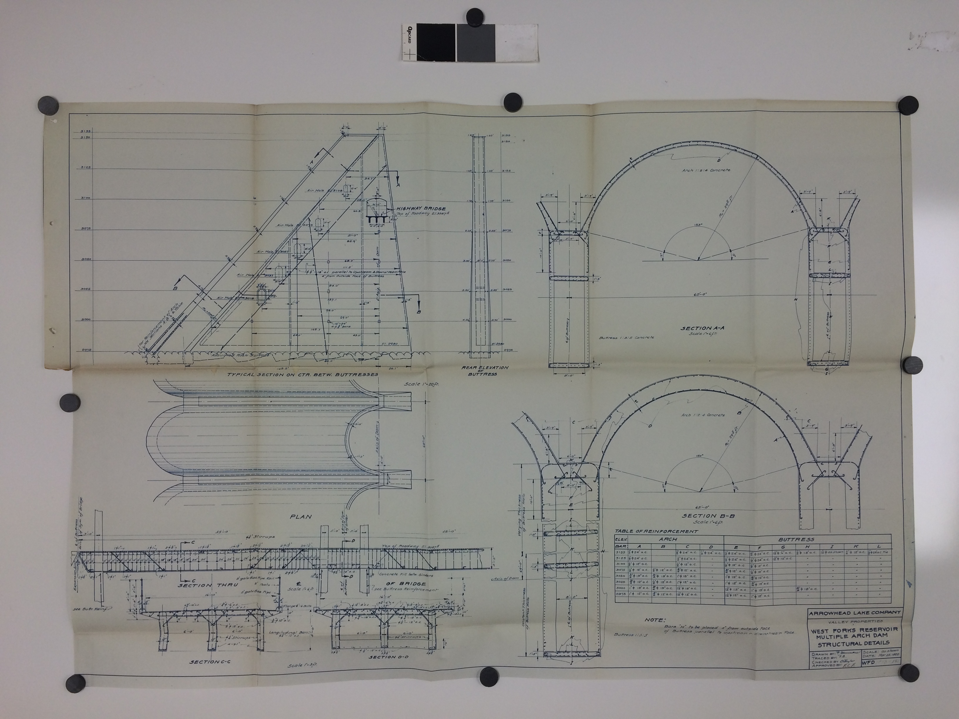
We used the digital camera to photograph maps and blueprints from Finkle’s “Report on Victor Valley Irrigation District, San Bernardino County, California” (previously mentioned). Of visual interest are these plans for a multiple arch dam at the West Forks Reservoir, from 1922:
Greetings, California water resources enthusiasts! This week I scanned Bernard A. Etcheverry and H. L. Haehl’s “Report on Conservation of Controlled Flood Water of San Gabriel River (With Index to Spreading Studies)” (1936). That the index was noteworthy enough to include in the title intrigued me (I am easily intrigued). It lists related documents from the Los Angeles County Flood Control District, with a “distinguishing letter, a Roman file number and an Arabic exhibit number” for each entry.
Whether a titular index was standard procedure or rarity in the pre-Internet days of government reports, I know not. The thoroughness of the authors’ index-craft is, to be sure, impressive. As I digitize subsequent documents I will be sure to keep an eye out for more occurrences of this mysterious phenomenon.
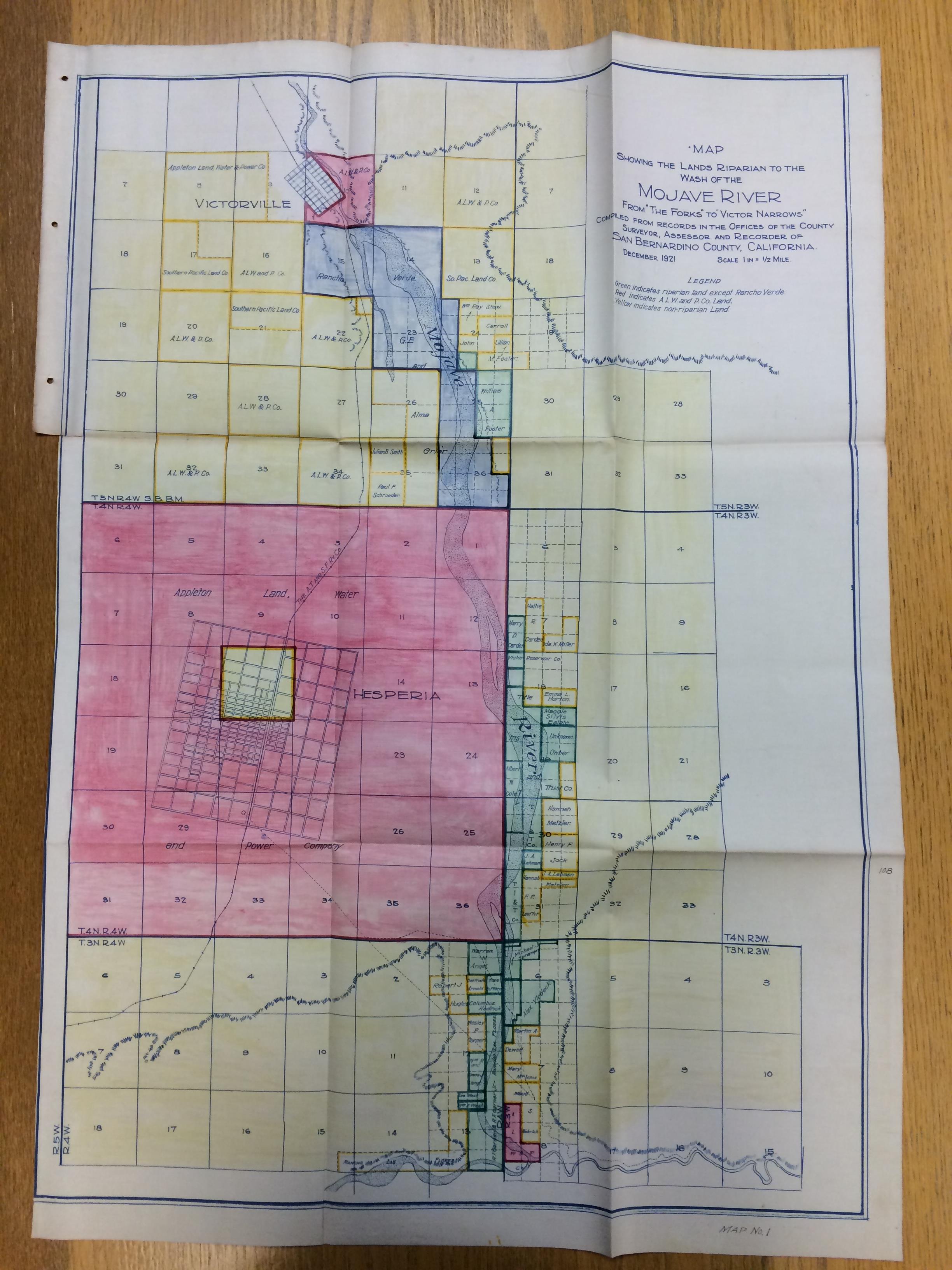
The scanning of Frederick Cecil Finkle’s “Report on Victor Valley Irrigation District, San Bernardino County, California” (1923) mentioned at the end of last week’s post continues on, ever on, like riparian lands extending to the wash of the Mojave River. The report includes maps and blueprints that are too large for the CCEPS scanners to accommodate, necessitating a visit to the library’s digital photography room in the near future.
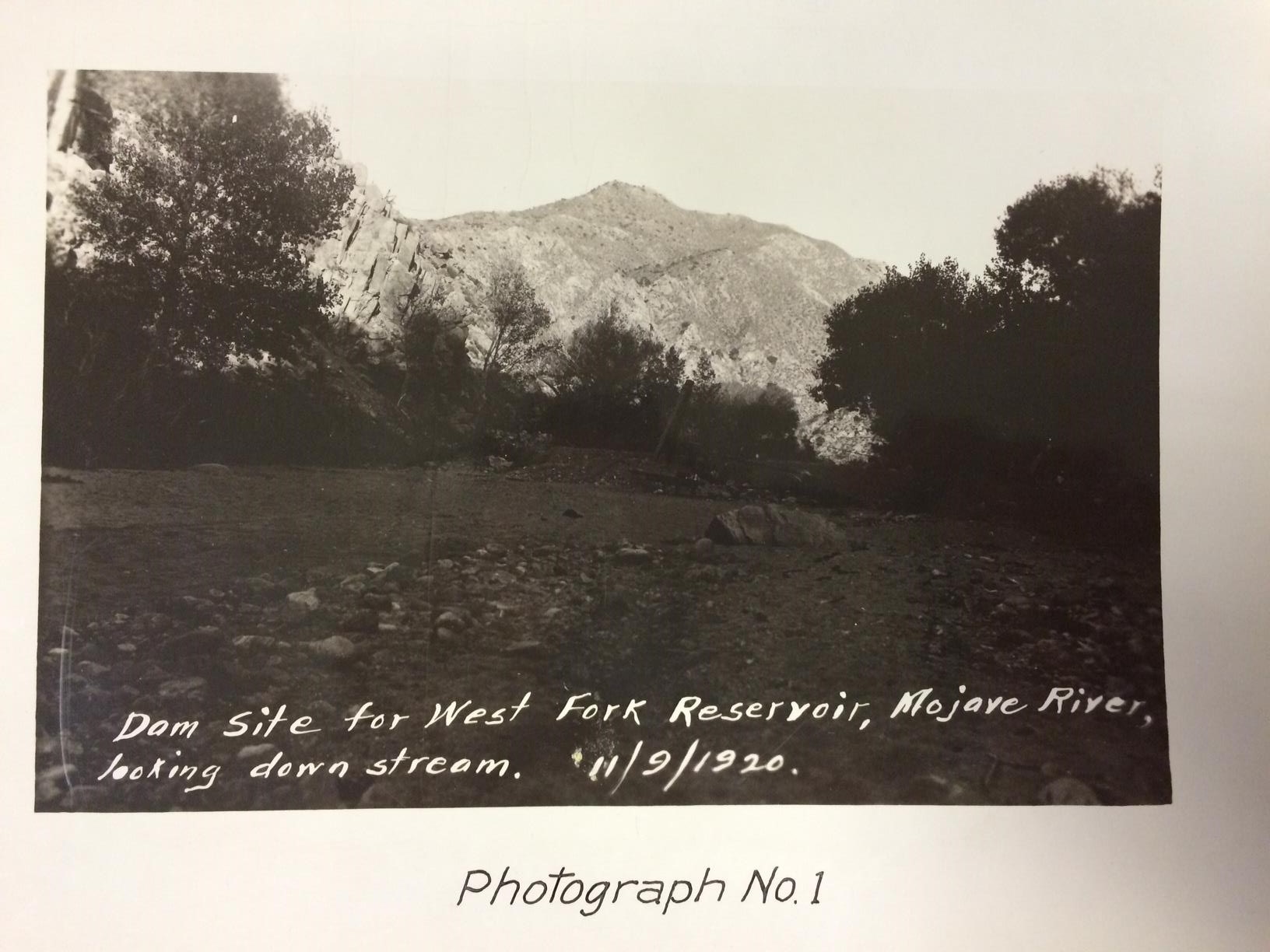
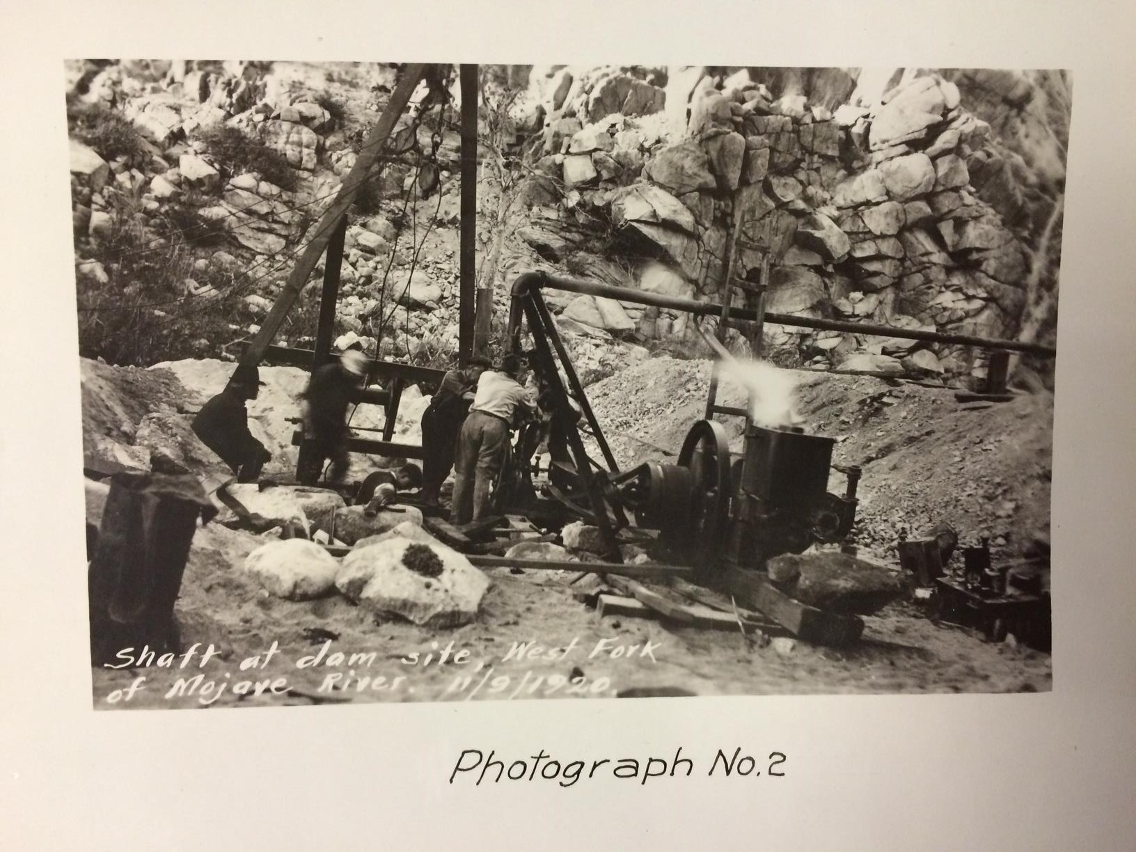
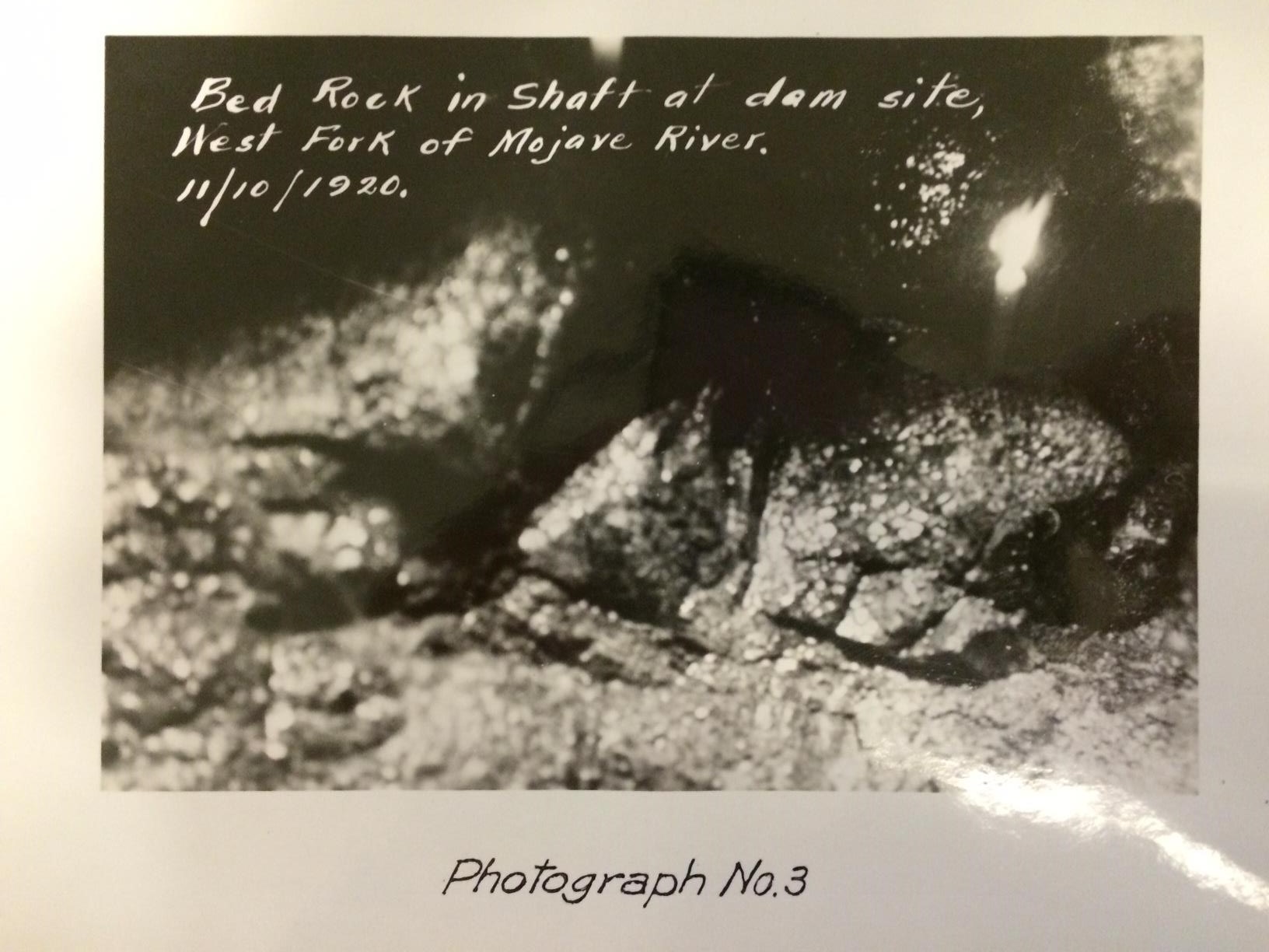
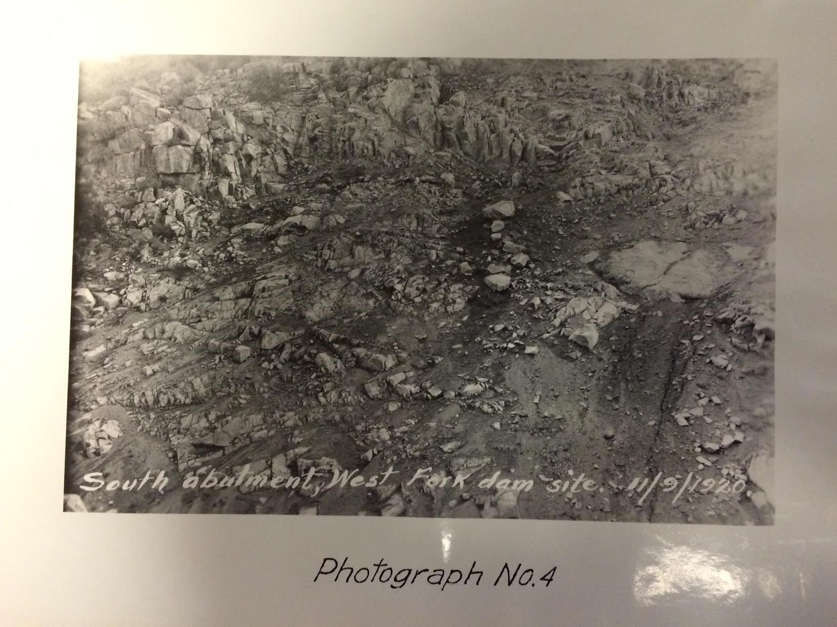
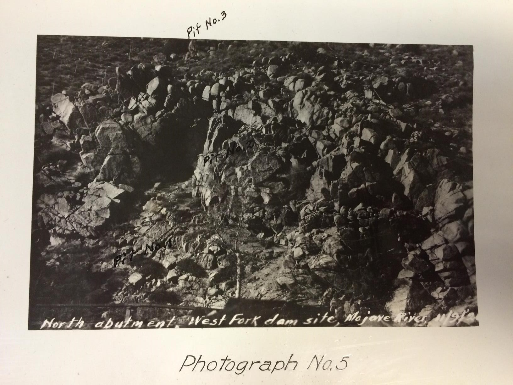
In the meantime, here are some photographs from Finkle’s report depicting Mojave River dam sites. Enjoy!
Dam site for West Fork Reservoir, Mojave River, looking down stream, November 9, 1920.
Shaft at dam site, West Fork of Mojave River, November 9, 1920.
Bed rock in shaft at dam site, West Fork of Mojave River, November 10, 1920.
South abutment, West Fork dam site, November 9, 1920.
Hi, folks! Welcome to a new and exciting CCEPS project, Digitizing Southern California Water Resources! Thanks to a grant from the Council on Library and Information Resources (CLIR) awarded to six collaborating institutions,* student workers at the Claremont Colleges Library will digitize documents relating to California water (from what I saw of the holdings, reports from the California Department of Water Resources will feature prominently) and upload them to the Claremont Colleges Digital Library (CCDL). Along the way we’ll provide weekly updates to this blog with tales and images from our many adventures in archiving. Let us begin!
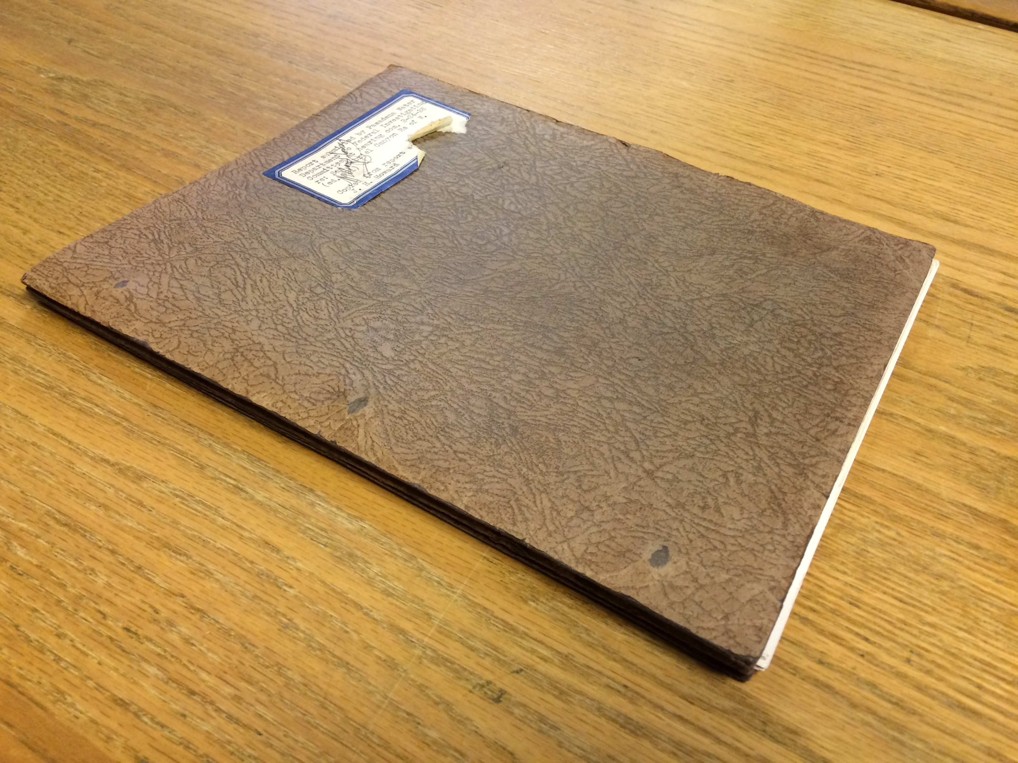
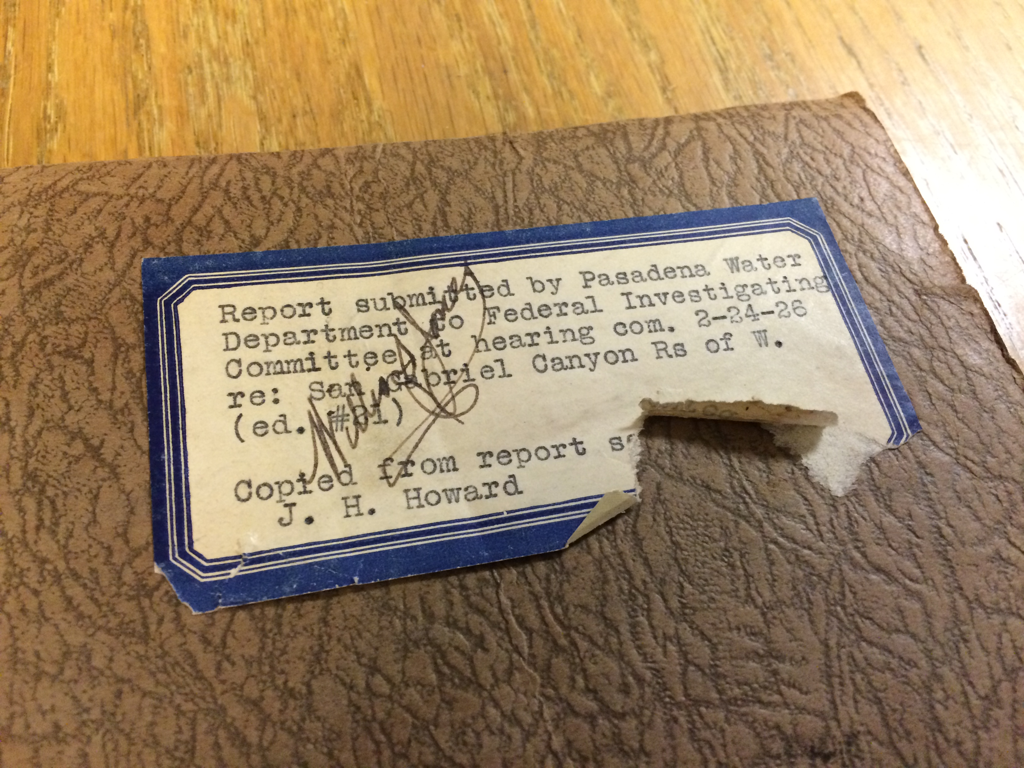
Last week I started with a 1926 report by the Pasadena Water Department’s Chief Engineer, Samuel B. Morris, titled, “Report submitted by Pasadena Water Department to Federal Investigating Committee at hearing com. 2-24-26 re: San Gabriel Canyon Rs of W.”
According to Morris, the purpose of the report is to “present Pasadena’s water supply needs, proposed San Gabriel River domestic water supply project, and suggestions of methods to permit the fullest realization of the objects and aims of both the City of Pasadena and the Los Angeles County Flood Control District with the greatest economy and speed.”
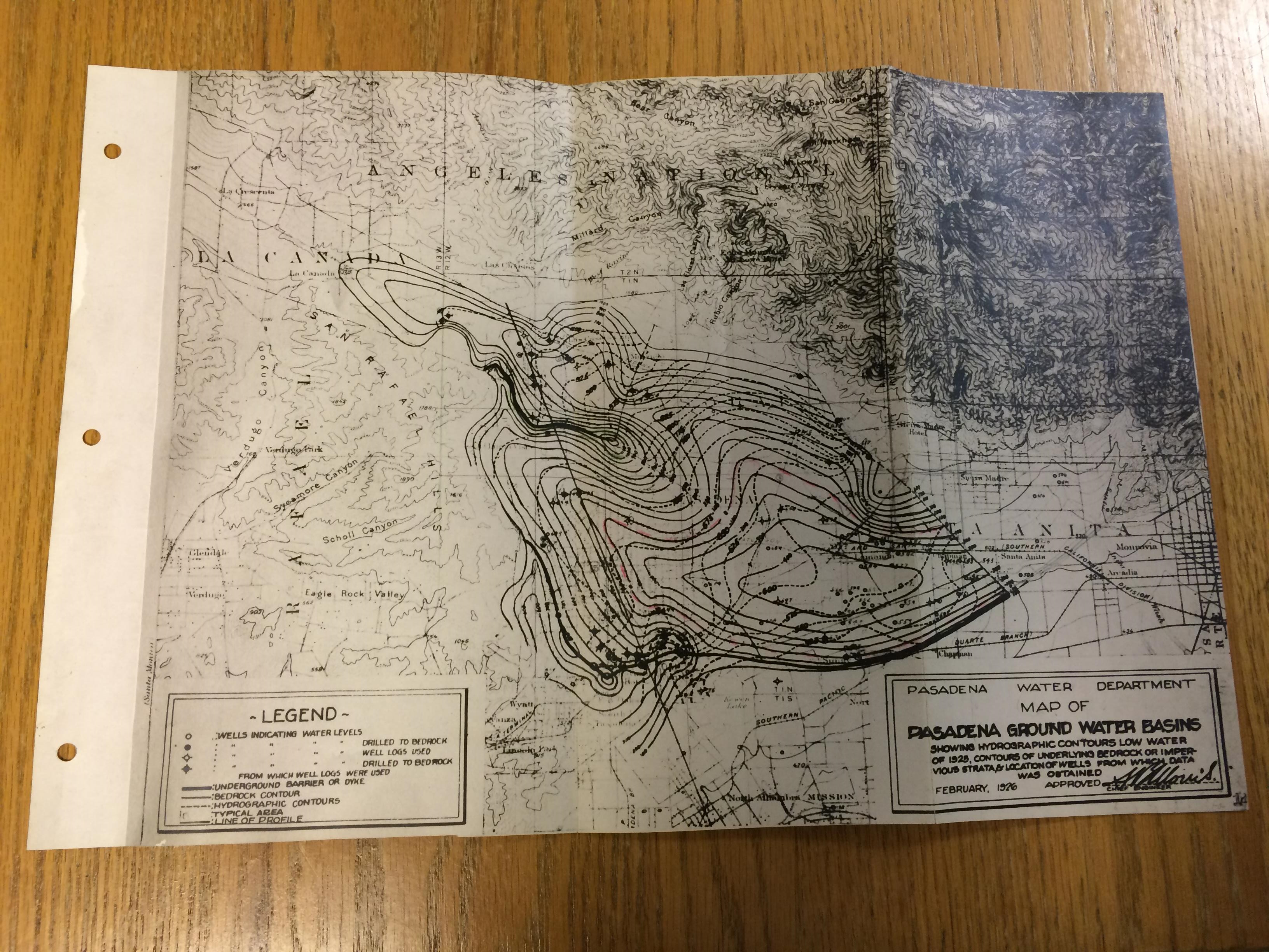
He rounds out the report with an assortment of graphs visualizing trends and probabilities, as well as this nifty map of Pasadena ground water basins:
We’re not uploading to the CCDL’s Water Documents page just yet, but we’ll let you know when we do. In the meantime I’m scanning a report on the Victor Valley Irrigation District. Stay tuned!
– Myles
* The collaborating institutions are: The Claremont Colleges Library, the A.K. Smiley Public Library, California State University Northridge Oviatt Library, California State University San Bernardino Water Resources Institute, the National Archives and Records Administration at Riverside, the Ontario City Library, and the Upland Public Library. Whew.