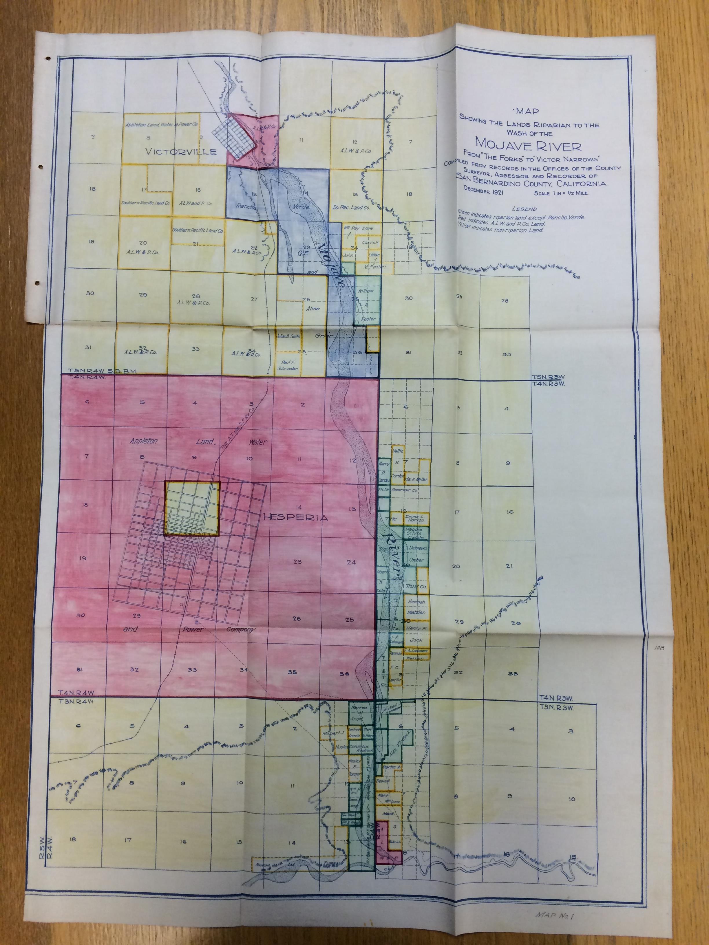
The scanning of Frederick Cecil Finkle’s “Report on Victor Valley Irrigation District, San Bernardino County, California” (1923) mentioned at the end of last week’s post continues on, ever on, like riparian lands extending to the wash of the Mojave River. The report includes maps and blueprints that are too large for the CCEPS scanners to accommodate, necessitating a visit to the library’s digital photography room in the near future.
In the meantime, here are some photographs from Finkle’s report depicting Mojave River dam sites. Enjoy!
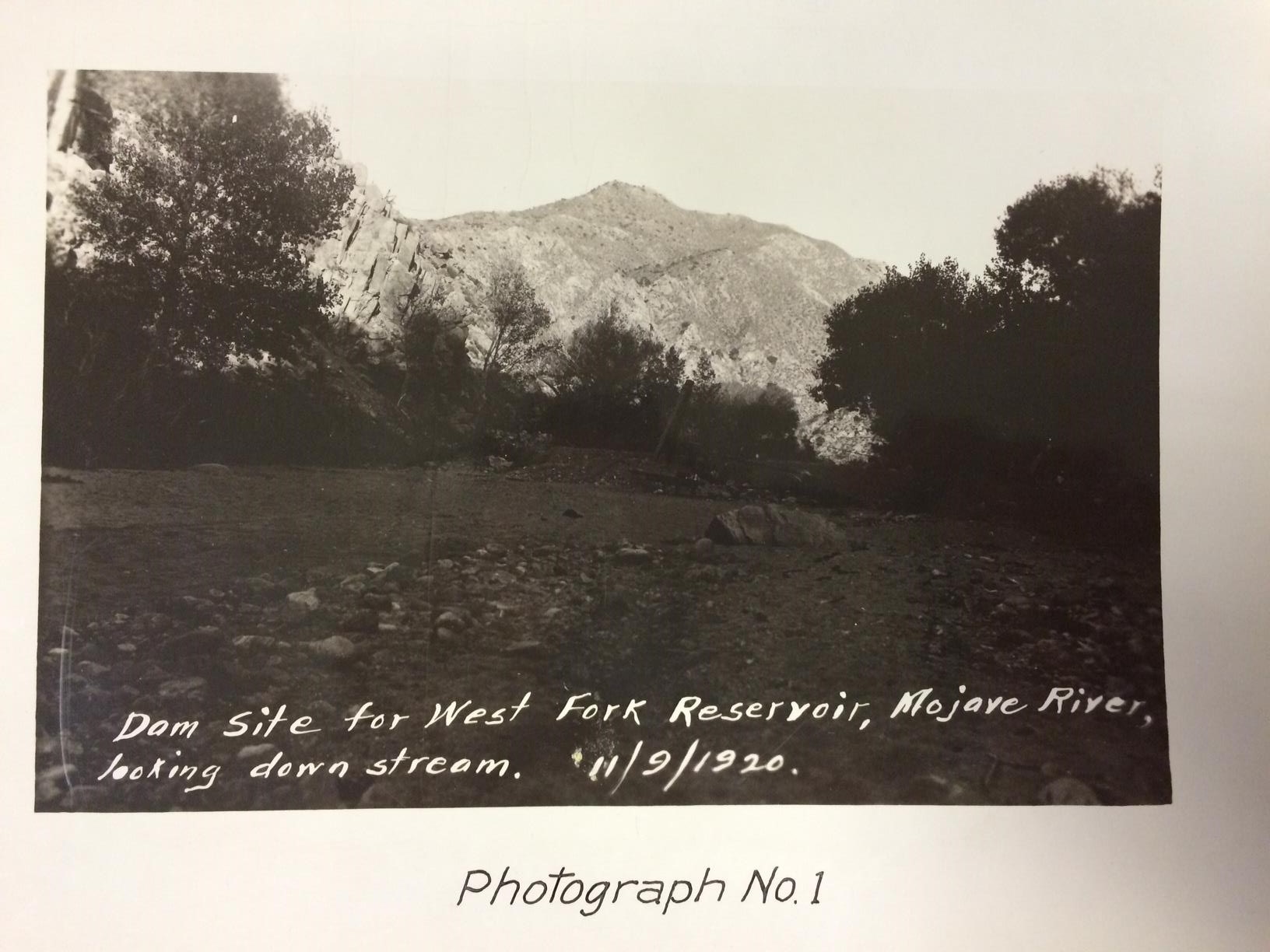
Dam site for West Fork Reservoir, Mojave River, looking down stream, November 9, 1920.
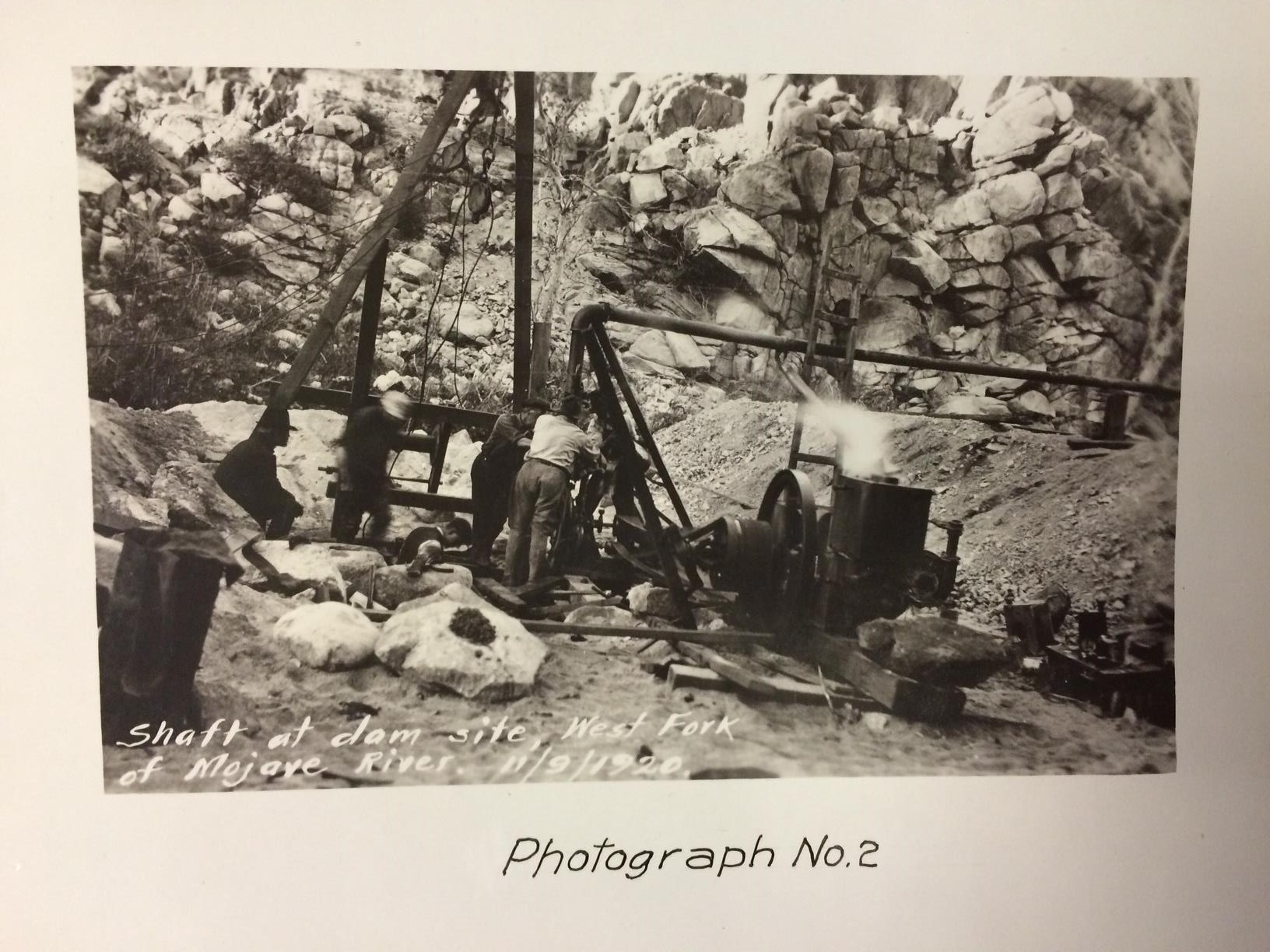
Shaft at dam site, West Fork of Mojave River, November 9, 1920.
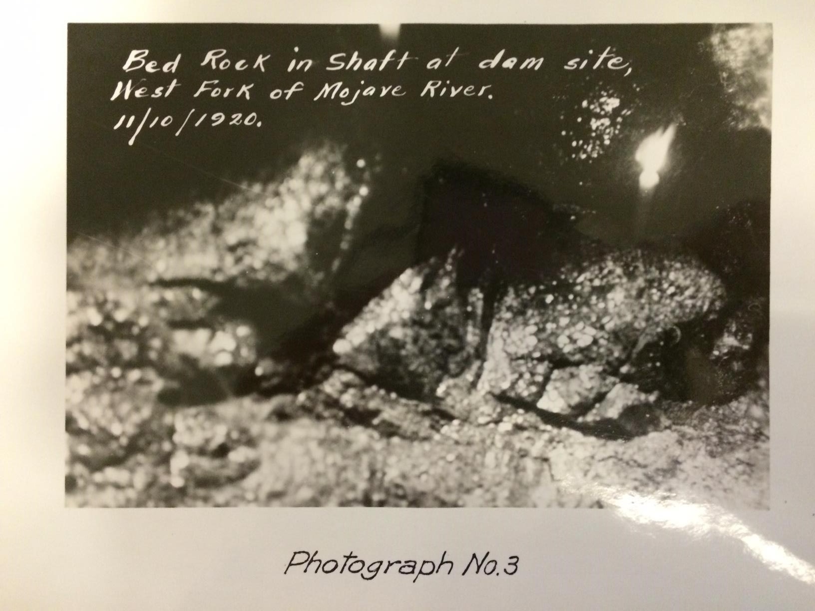
Bed rock in shaft at dam site, West Fork of Mojave River, November 10, 1920.
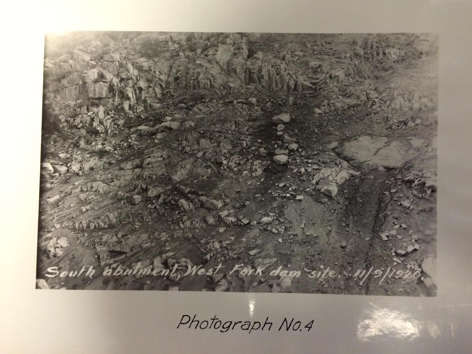
South abutment, West Fork dam site, November 9, 1920.
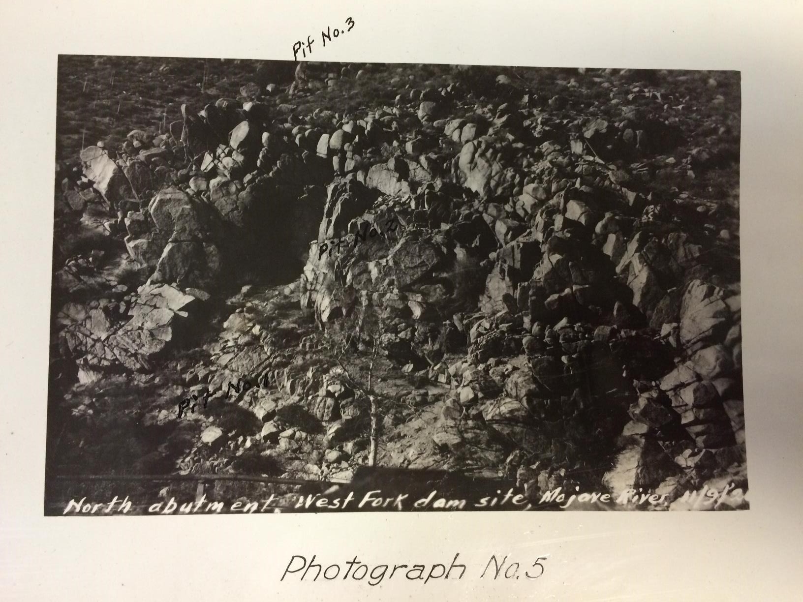
North abutment, West Fork dam site, Mojave River.