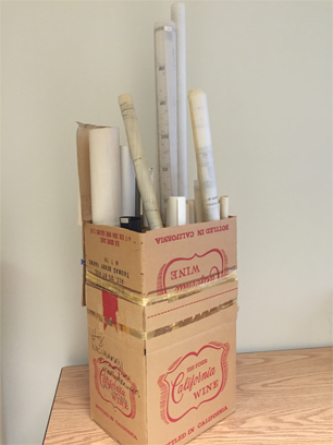
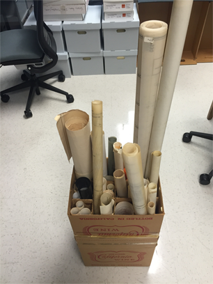
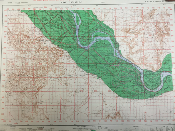
Next up is a box of maps and drawings from the archeological expeditions to Nag Hammadi. Inside we found maps of the general area, hand-drawn guides to the dig site, and (in a separate tube) a satellite image of the area. I’ve never been on an archeological dig but from what I’ve seen mapping has got to be a key component.
We’ve put materials relating to the dig into their own series, which contains these maps, field notes, photographs, audio tapes, and correspondence. The expeditions are divided into seasons that span from 1976 until 1980, when it seems their funding ended.
It’s difficult to tell just from the labels, but I suspect the tapes are interviews from the dig. Some are labeled Mohammed Ali, and I’m curious if this is the same Mohammed that originally discovered the codices. Jason has mentioned this story in his posts, it could be that the tapes contain Ali’s complete account. Maybe we’ll come across some information on these tapes as we continue processing this week! Until next time –
– Sara