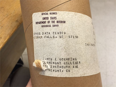
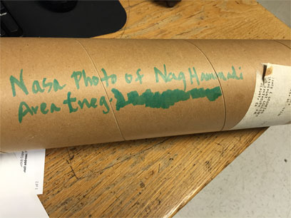
Nothing new to report on right now with processing, so here’s something I found interesting while we were going through the maps and photos. One of the tubes that came with the collection was mailed from the Department on the Interior and contained a satellite image and its negative of the Nag Hammadi area.
If you can, why not get the best overview of your dig site as possible? From what I’ve made out of the numbers on the photo, it seems this was taken on the 21st of November 1981:
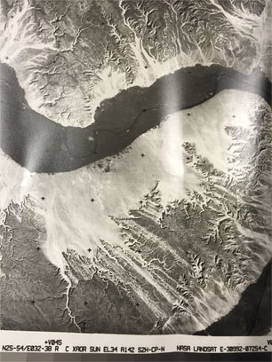
If that’s the case, this was taken near the end of the expeditions, maybe they were made because the option had just become available. A cursory look at satellite history says that there have been photo satellites from as early as 1946 (https://www.airspacemag.com/space/the-first-photo-from-space-13721411/?no-ist=), but the ability to order a photo survey from NASA may have been some time coming.

The weeks are counting down quickly now, just going to keep pressing on. Look forward to another piece of show and tell next week! Until then –
Sara