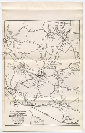
This map from 1931 centers around the Boulder Canyon Project in the southernmost tip of Nevada. However, looking at the bottom left corner there is an interesting view of early unincorporated Southern California, city names are still mostly relevant except perhaps spelling.
Examples that are easily identified are “Santa Anna” (now modern day Santa Ana, seat of Orange County) and “Tia Juana” in northern Baja California, Mexico.
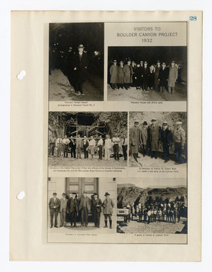
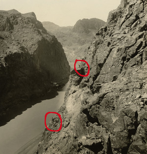
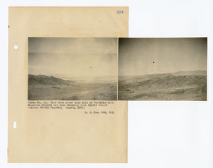
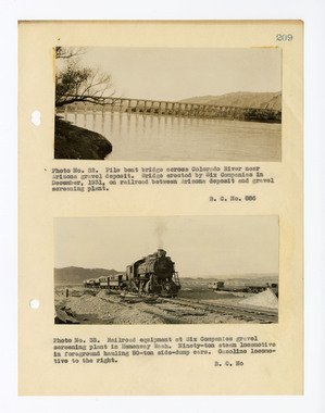
NARA Series: Boulder Canyon Project Series, 1948-1966. Record Group 48: Records of the Office of the Secretary of the Interior, 1826-2009. National Archives Identifier: 2292774